Aerial Real Estate Photo Editing: Turning Drone Shots into High-Impact Listings

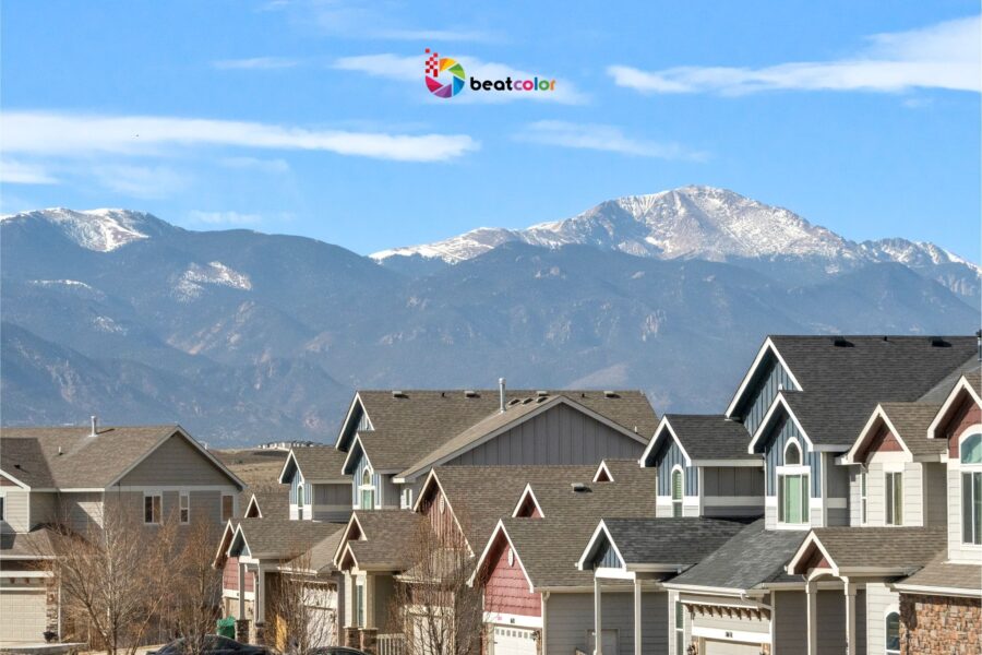
Aerial real estate photo editing has reshaped modern property marketing. Drone photography delivers perspective, scale, and neighborhood context instantly. However, raw aerial files rarely look market-ready. Therefore, editing transforms technical captures into persuasive visual assets.
In competitive markets, attention spans are short. Buyers scroll through dozens of listings within minutes. Consequently, visuals must communicate value immediately. This is where aerial real estate photo editing becomes strategic.
Recent market reports show visual-first listings dominate online platforms. Properties featuring drone imagery receive significantly higher engagement rates. Moreover, listings with optimized aerial images often generate more qualified inquiries. The difference lies not only in capture, but refinement.
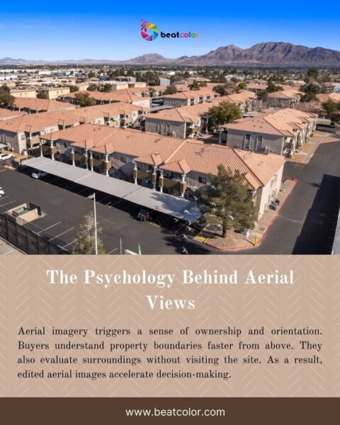
The Psychology Behind Aerial Views
Aerial imagery triggers a sense of ownership and orientation. Buyers understand property boundaries faster from above. They also evaluate surroundings without visiting the site. As a result, edited aerial images accelerate decision-making.
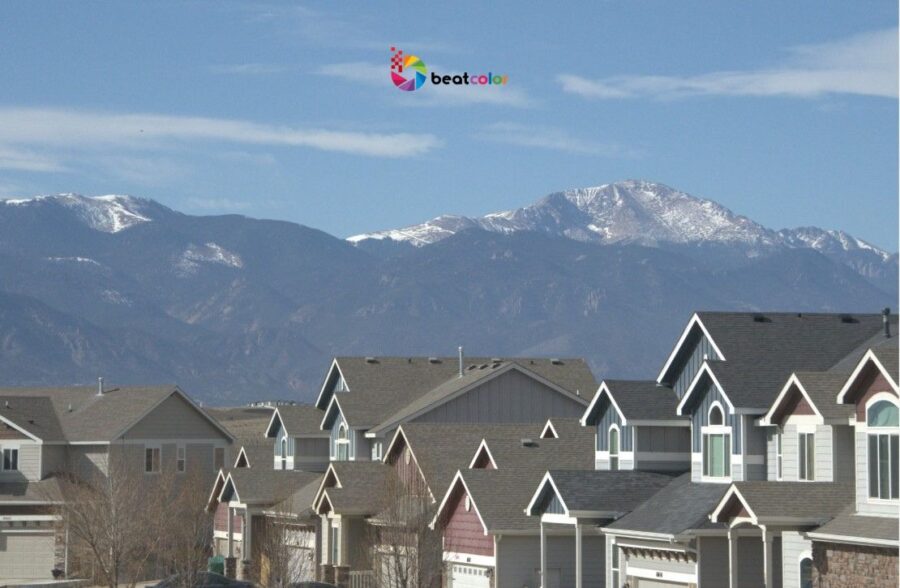
Furthermore, altitude adds perceived prestige. Luxury listings especially benefit from cinematic overhead compositions. However, without editing, these advantages fade quickly. Flat lighting and haze reduce emotional impact.
Why Raw Drone Images Fall Short
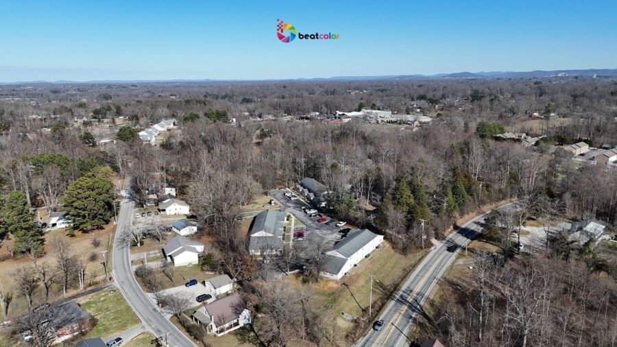
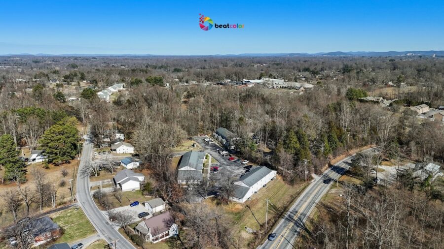
Drone cameras operate in dynamic outdoor conditions. Lighting changes quickly due to clouds and reflections. Additionally, high altitude introduces atmospheric haze. These factors reduce clarity and color accuracy.
Lens distortion also affects structural lines. Buildings may appear slightly curved or tilted. Meanwhile, shadows from trees create uneven exposure. Editing corrects these inconsistencies precisely.
Core Techniques in Aerial Real Estate Photo Editing
Effective editing follows a structured enhancement process. Each adjustment supports clarity, realism, and marketing appeal.
1. Dynamic Range Optimization
Drone sensors capture wide landscapes but limited dynamic balance. Bright roofs often contrast with dark landscaping. Editors recover highlights and lift shadows carefully. Thus, details remain visible across the entire frame.
Balanced exposure improves professional credibility. Buyers subconsciously associate clarity with transparency.
2. Advanced Color Grading
Color influences perception of property condition. Grass should appear healthy, yet believable. Roofs must retain authentic material tones. Therefore, calibrated color grading ensures realistic vibrancy.
In 2026, AI-assisted color matching tools streamline this process. These tools analyze environmental lighting automatically. However, manual refinement still guarantees accuracy.
3. Dehaze and Atmospheric Correction
Haze softens distant features and skyline elements. This effect reduces depth perception significantly. Modern dehaze algorithms restore contrast intelligently. Consequently, landscapes regain structure and dimension.
Properties near coastlines benefit greatly from this enhancement. Water reflections appear sharper and more defined.
4. Structural Alignment and Perspective Correction
Drone tilt can distort vertical architecture subtly. Straight lines signal professionalism and technical precision. Editors correct lens profiles and horizon balance. This adjustment reinforces architectural integrity visually.
5. Context Enhancement Without Manipulation
Aerial editing must remain ethical. Property lines can be subtly highlighted when appropriate. Nearby amenities may receive clarity enhancement. However, elements should never be misleading.
Trust remains central in real estate marketing. Over-edited skies or artificial landscaping damage credibility. Therefore, authenticity must guide every decision.
Integrating Aerial Editing into SEO Strategy
Aerial real estate photo editing also supports digital visibility. Search engines increasingly evaluate user engagement metrics. Compelling visuals increase time spent on listing pages. Longer sessions signal content relevance.
Additionally, optimized file naming improves discoverability. Descriptive alt text strengthens keyword association. For example, include “aerial real estate photo editing waterfront property” naturally. Such optimization enhances image search performance.
Image compression also plays a technical role. Fast loading speeds improve both ranking and user satisfaction. Thus, editing workflows must consider web performance standards.
Emerging Trends in 2026
The integration of AI continues evolving rapidly. Automated masking now identifies rooftops and landscaping separately. Editors can apply selective adjustments instantly. This reduces turnaround time significantly.
Furthermore, HDR blending techniques produce balanced exposures from multiple drone shots. This approach increases detail retention dramatically. Luxury markets especially demand this level of polish.
Another emerging trend involves cinematic aerial storytelling. Still images now align with drone video branding styles. Consistent color grading across media strengthens identity. Therefore, editing supports cohesive marketing narratives.
Measuring the Impact of Edited Aerial Images
Performance metrics provide measurable proof of value. Real estate agencies report higher click-through rates with enhanced drone visuals. Some markets show engagement improvements exceeding fifty percent. Moreover, professionally edited listings often sell faster.
Buyers appreciate transparency and spatial awareness. Clear aerial imagery reduces uncertainty during evaluation. As a result, inquiries become more serious and qualified.
Agents also gain stronger presentation materials. Listing appointments benefit from polished aerial overviews. This competitive advantage influences seller decisions.
Choosing the Right Editing Approach
Not every property requires identical treatment. Urban apartments need different adjustments than rural estates. High-rise buildings demand vertical alignment precision. Meanwhile, farmland listings emphasize boundary clarity.
A customized editing workflow ensures relevance. Therefore, understanding property type is essential. Editors should evaluate lighting conditions before processing. Strategic decisions produce consistent brand outcomes.
Turnaround time also matters in fast markets. Rapid delivery supports timely listing launches. However, speed should never compromise accuracy.
Final Thoughts
Aerial real estate photo editing is no longer optional. It functions as a competitive differentiator in saturated markets. Drone capture provides raw potential only. Editing converts potential into persuasion.
Moreover, refined aerial imagery builds buyer confidence immediately. It communicates transparency, scale, and neighborhood context clearly. In digital-first marketplaces, visuals drive first impressions. First impressions influence final offers.
Ultimately, investing in professional aerial editing increases listing performance. It strengthens branding consistency and online authority. Furthermore, it enhances both engagement and conversion outcomes. For agents and agencies, that impact is measurable and lasting.
Read more:
Real Estate Video Editing vs Photography: Which Converts Better in 2026?
3D Real Estate Photo Editing Services: Workflow and Quality Standards
Exterior Virtual Staging for Real Estate: Elevating Curb Appeal in the Digital Age


